50 different states make up the United States of America.
I can count them off-hand, including what makes these states great.
Their sizes, topography, and even climate are different because they are not at the same latitudes.
Almost half of the state’s in America border the Atlantic Ocean, its Gulf of Mexico, the Pacific Ocean, and even the Arctic Sea.
23 states of America are located adjacent to the ocean, and the landlocked states are 27 in number.
What US state has the longest coastline?
Alaska is the American state that has the longest coastline.
A report from NOAA said that Alaska has a coastline that is 33,904 miles long.
The state is also the largest in America.
The state is non-contiguous.
It is located at the extreme of North America.
On the eastern side, it shares borders with two Canadian territories, the provinces of Yukon and British Columbia.
Many seas and oceans surround Alaska.
It shares a boundary with the Arctic Ocean on the north.
Bering Strait, the Bering Sea, and the Chukchi Sea boarders it’s west.
Its south and southwest border is shared with the Gulf of Alaska and the Pacific Ocean.
The state’s territorial waters touched with the territorial waters of Russia at the Bering Strait.
What US state has the longest coastline?
Alaska has the longest coastline in the United States.
Although the coastline of Florida is way longer than that of Alaska yet it is ranked second.
Florida has an 8,436 miles long coastline.
It is the only state in America that shares borders with the Gulf of Mexico and the Atlantic Ocean.
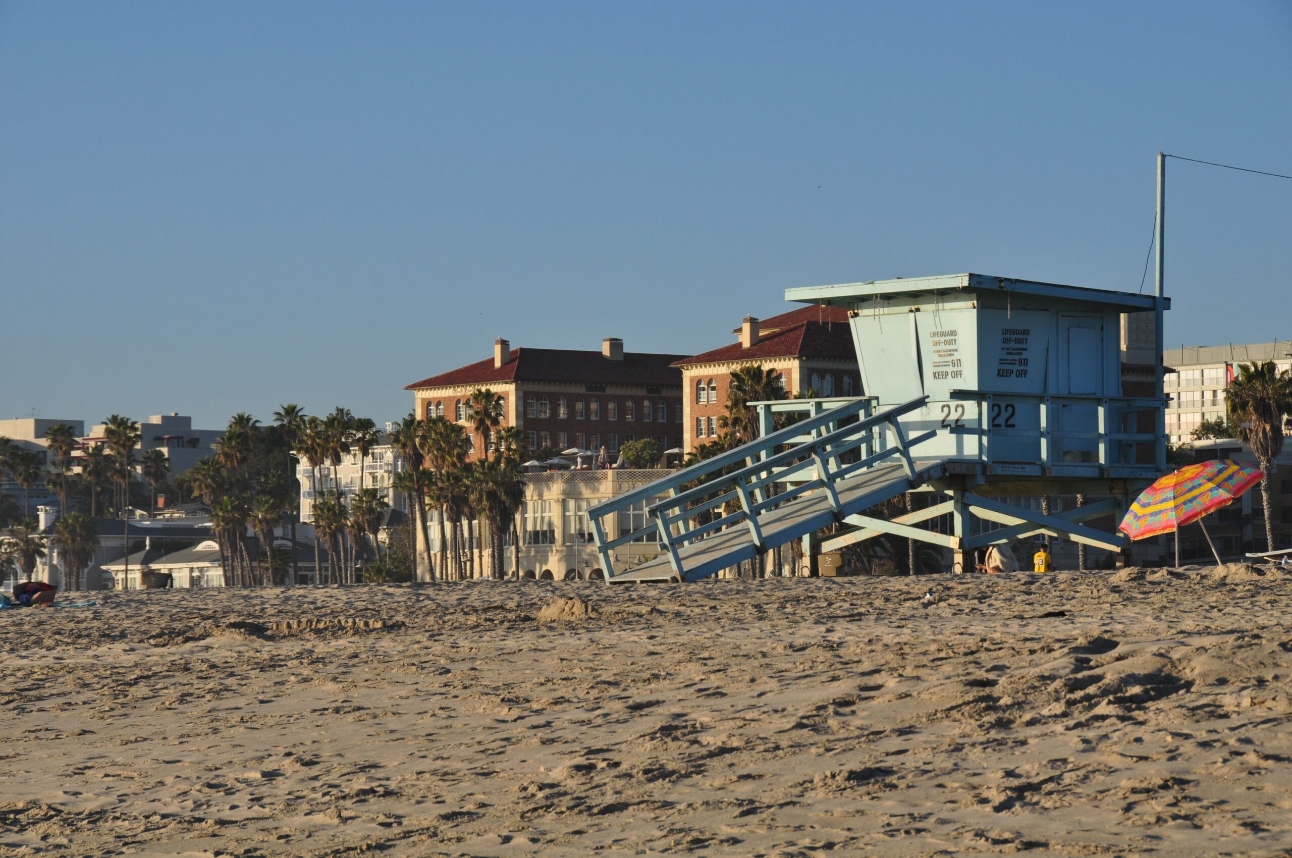
This lengthy coastline has a lot of beautiful beaches that tourists delight in.

The coastline of Alaska is 6,640 miles long, and the shoreline of its Islands is 33,904 miles long.
The length of its tidal shoreline, comprising islands, inlets, and shoreline to the head of the tidewater, is about 47,300 miles.
What is the difference between a shoreline and a coastline?
The coastline is a coast’s contour, outline, or boundary, but the boundary between land and water is the shoreline.
The face coastline of Alaska is towards the North Pacific Ocean, Bering Sea, Beaufort Sea, Chukchi Sea, and the Arctic Ocean.
It is the only state in America between two different oceans.
The state of Alaska has complex coastal geology because it got its shape from fault tectonics, volcanism, glaciation, fluvial processes, sea level changes, and annual sea ice.
At the state’s southeast are rugged, rocky coastal, with sheltered fjords.
That area is always ice-free.
The Aleutian Mountains form the Alaska Peninsula and the Aleutian Islands.
These volcanic Mountains trend southwest, starting from Anchorage.
It stretched about 2,200 km (1,370 miles) to form the boundary between the Pacific Ocean and the Bering Sea.
The Seward Peninsula has mountains that are more than 1,000 meters above the coastal plain.
It has Norton Sound and the Bering Sea on its southern side.
On its northern side, it has Kotzebue Sound and the Chukchi Sea.
The Peninsula is very different from its adjoining coasts.
There are barriers and cuspate forelands that look like the ones on the North Carolina border North of Kotzebue Sound.
Point Hope, an unusual forehand, is the first cuspate forehand.
Three additional cuspate forelands extend along the coast, ending with Point Barrow at the extreme north of Alaska.
Problems Around Alaska Coastline
Most places along the coastline of Alaska are prone to storm surges.
The presence of ice in the water has frustrated storm surges from developing.
However, the most severe surges during the summer develop in most northern areas.
From 1898, the time of the Gold Rush, the coastal villages and towns were destroyed by about 90 storm surges.
The damages it caused were estimated to be hundreds of millions of dollars.
There are positive storm surges, and there are negative storm surges.
A positive surge increases the sea level, while a negative surge decreases the sea level below the normal level.
When winds are parallel to the shore, and the shore is to the right of the wind flow, they are called strong winds.
This kind of wind causes positive storm surges.
When the winds are parallel to the shore, and the shore is to the left of the flow, it is called offshore winds.
This wind causes negative storm surges.
The high volume of rainwater along the coast of southeastern Alaska and British Columbia, usually at an annual average of about 340 inches affects the marine mammals that inhabit the coastal waters of this area.
Many freshwaters flow into the Gulf of Alaska whenever rain and snow melt.
The volume of water that flows out of the mountainous coast is unknown because there is no system on the ground to guide the stream flows in the area.
A marine scientist with the University of Alaska’s Institute of Marine Sciences, Tom Royer, said that the water outflow is three times more than the flow down the Yukon River.
A big thing happens to the freshwater that flows into the sea.
The freshwater is supposed to flow into the Gulf of Alaska to the west, into the saltwater, rather, it forms into a cohesive jet, hugs the coast, and flows towards the north and west along the coast.
Finally, many believe Florida has the longest coastline in the United States.
Whether you want to visit Alaska or Florida, you can have the best time of your life around their beaches.
FAQs

🗼 I Wrote a Book About My Japan Travel Catastrophes!
Before I landed in Tokyo, I thought I was the “Final Boss” of international travel. Spoiler alert: I WASN’T. 😅
🚅 I boarded the wrong Shinkansen and ended up in THE WRONG CITY. I confused locals with my “expert” bowing that was more awkward than accurate. I accidentally stumbled into a high-stakes Kendo practice thinking it was a tourist show. Sound like something you’d do?
“Things I Wish I Knew Before Going to Japan” is your shortcut to avoiding ALL my cringe-worthy mistakes. ✨ Inside, you’ll find practical, LIFE-SAVING tips on etiquette, transport, money, and hidden gems that will save you time, money, and a whole lot of confusion.
Does Florida or Texas have more coastline?
Florida has more coastlines.
The coastline of Florida is 8,436 miles long, and the coastline of Texas is 3,359 long.
Which state has the second longest coastline?
The coastline of Florida is the second longest in America.
How many US states have a coastline?
There are 30 coastal states in America, and the length of its ocean coastlines is 12,000 miles.
Meanwhile the United States of America has five different coasts, which include the Atlantic Coast, known as the East Coast, the Pacific Coast, known as the West Coast, the Gulf Coast, the Arctic Coast, and the lake states.
The country has 14 Atlantic Coast states.